Community
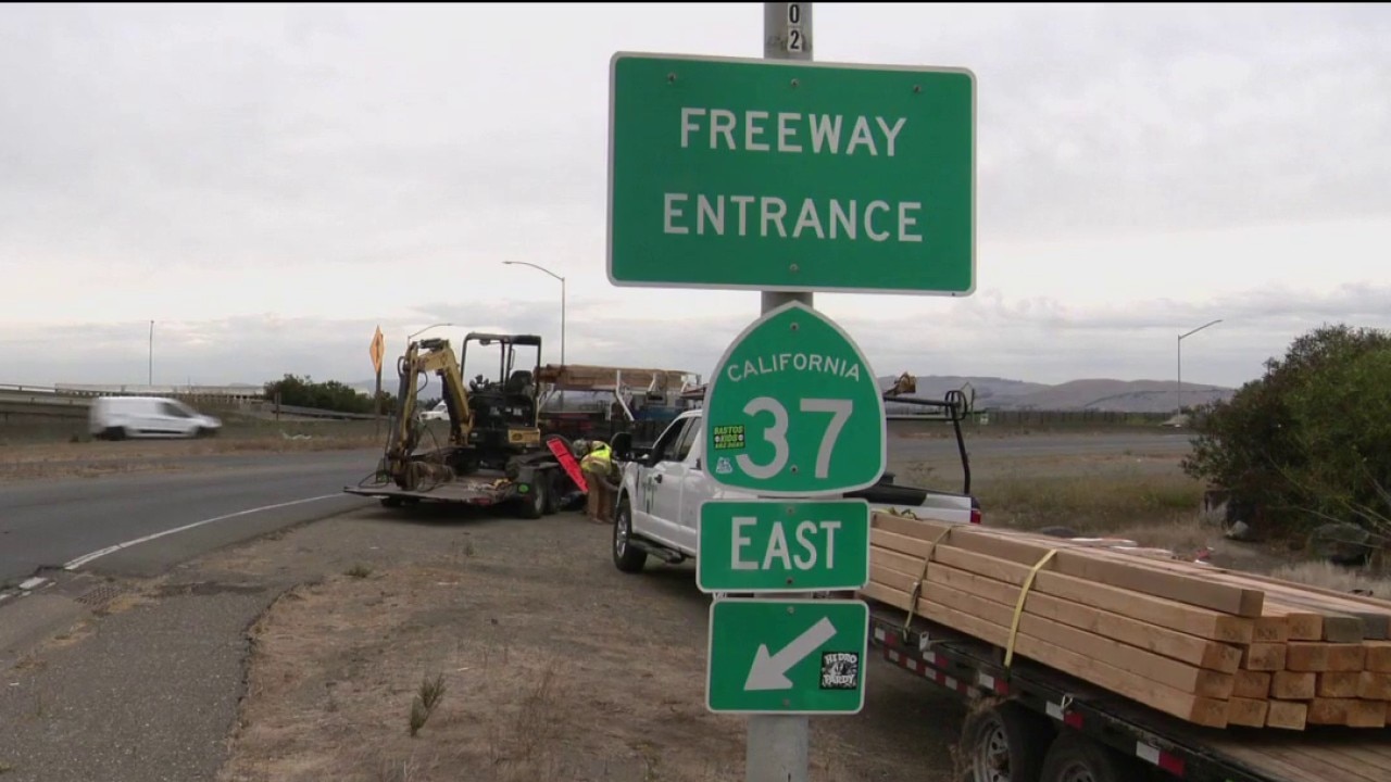
Highway 37 to close for 55 hours starting Friday
By Marcus Chen
KTVU FOX 2 Bay Area
Advertisement
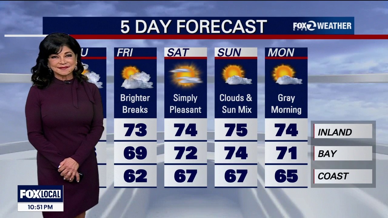
THURSDAY Additional wraparound showers, including the morning commute, with breaks between rounds. A lingering thunderstorm chance remains along the Central Coast, but the waterspout/tornado threat diminishes by late morning. Cooler temperatures and increasing onshore winds; dry weather returns Friday. TAHOE / SIERRA SNOW Yes—high-elevation snow is expected, with mainly rain at Tahoe lake level. Snow levels start above 8,500 feet, lowering toward 7,500–8,000 feet Thursday morning. NWS gives elevations above 8,000 feet roughly a 70% chance of at least 2 inches and 25% chance of at least 4 inches. Tahoe-region thunderstorm chances reach 25–30% today, decreasing to 15–20% Thursday. The heavier snow advisory is south of Tahoe: Mono County above 8,000 feet is under a Winter Weather Advisory through 5 PM Thursday, with 4–8 inches, locally 10 inches on the highest peaks. Higher Sierra passes could become slippery. No Tahoe Basin winter advisory is listed in the latest Reno discussion.
By Marcus Chen
KTVU FOX 2 Bay Area
By Marcus Chen
KTVU FOX 2 Bay Area

By Katherine Langford
KTVU FOX 2 Bay Area

By Katherine Langford
KTVU FOX 2 Bay Area